Fil:Süderoogsand.png
Der findes ingen højere opløsning af billedet
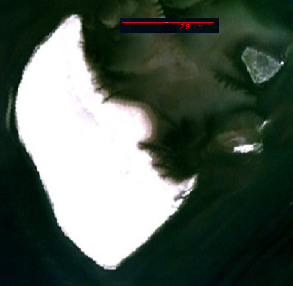
Süderoogsand.png (591 × 576 billedpunkter, filstørrelse: 1.000 KB, MIME-type: image/png)
|
|
Denne fil er fra Wikimedia Commons. Beskrivelsen af filen fra Commons er gengivet nedenfor. |
Beskrivelse
Source: http://permanent.access.gpo.gov/websites/pollux/pollux.nss.nima.mil/NAV_PUBS/SD/pub192/192sec09.pdf, page 200 bottom right, png extraction from pdf document displayed at 100 %, created by National Imagery and Mapping Agency (NIMA)
Licensering
This image is a work of the United States National Geospatial-Intelligence Agency or one of its predecessor agencies. As a work of the U.S. federal government, the image is in the public domain.
|
 |
| Annotations | This image is annotated: View the annotations at Commons |
Filhistorik
Klik på en dato/tid for at se filen som den så ud på det tidspunkt.
| Dato/tid | Miniaturebillede | Dimensioner | Bruger | Kommentar | |
|---|---|---|---|---|---|
| nuværende | 21. nov. 2006, 00:12 | | 591 × 576 (1.000 KB) | Ratzer | NASA World Wind screenshot |
| 11. okt. 2006, 21:59 |  | 109 × 169 (19 KB) | Ratzer | Source: http://permanent.access.gpo.gov/websites/pollux/pollux.nss.nima.mil/NAV_PUBS/SD/pub192/192sec09.pdf, page 200 bottom right, png extraction from pdf document displayed at 100 %, created by National Imagery and Mapping Agency (NIMA) |
Filanvendelse
Den følgende side bruger denne fil:
Global filanvendelse
Følgende andre wikier anvender denne fil:
- Anvendelser på de.wikipedia.org
- Anvendelser på en.wikipedia.org
- Anvendelser på frr.wikipedia.org
- Anvendelser på fy.wikipedia.org
- Anvendelser på mk.wikipedia.org
- Anvendelser på vi.wikipedia.org