Fil:Botswana location map.svg

Size of this PNG preview of this SVG file: 577 × 600 pixels. Andre opløsninger: 231 × 240 pixels | 462 × 480 pixels | 739 × 768 pixels | 986 × 1.024 pixels | 1.971 × 2.048 pixels | 974 × 1.012 pixels.
Fuld opløsning (SVG fil, basisstørrelse 974 × 1.012 pixels, filstørrelse: 314 KB)
|
|
Denne fil er fra Wikimedia Commons. Beskrivelsen af filen fra Commons er gengivet nedenfor. |
Beskrivelse
| Beskrivelse |
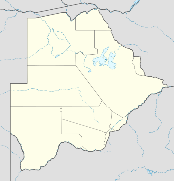
Deutsch: Positionskarte von Botsuana
Quadratische Plattkarte, N-S-Streckung 105 %. Geographische Begrenzung der Karte:
English: Location map of Botswana
Equirectangular projection, N/S stretching 105 %. Geographic limits of the map:
|
||
| Dato | |||
| Kilde |
own work, using
|
||
| Forfatter | NordNordWest | ||
| SVG udvikling | Vektorgrafikken blev lavet med Inkscape.
, or with something else.
|

Licensering
Jeg, dette værks ophavsretsindehaver, udgiver hermed værket under den følgende licens:

|
Tilladelse er givet til at kopiere, distribuere og/eller ændre dette dokument under betingelserne i GNU Free Documentation License', Version 1.2 eller enhver senere version udgivet af Free Software Foundation; uden et invariant afsnit, ingen forsidetekster, og ingen bagsidetekst. En kopi af licensen er inkluderet i afsnittet GNU Free Documentation License. |
Denne fil er udgivet under Creative Commons Kreditering-Del på samme vilkår 3.0 Ikke-porteret-licensen.
- Du må frit:
- at dele – at kopiere, distribuere og overføre værket
- at remixe – at tilpasse værket
- Under følgende vilkår:
- kreditering – Du skal give passende kreditering, angive et link til licensen, og oplyse om der er foretaget ændringer. Du må gøre det på enhver fornuftig måde, men ikke på en måde der antyder at licensgiveren godkender dig eller din anvendelse.
- deling på samme vilkår – Hvis du bearbejder, ændrer eller bygger videre på dette værk, skal du distribuere dine bidrag under den samme eller en kompatibel licens som originalen.
Du kan vælge den licens du foretrækker.
Filhistorik
Klik på en dato/tid for at se filen som den så ud på det tidspunkt.
| Dato/tid | Miniaturebillede | Dimensioner | Bruger | Kommentar | |
|---|---|---|---|---|---|
| nuværende | 21. dec. 2014, 12:07 | | 974 × 1.012 (314 KB) | Ravenpuff | Chobe District |
| 11. nov. 2009, 22:37 |  | 974 × 1.012 (313 KB) | NordNordWest | ||
| 13. aug. 2008, 19:48 |  | 975 × 1.012 (222 KB) | NordNordWest | {{Information |Description= {{de|Positionskarte von Botsuana}} Quadratische Plattkarte, N-S-Streckung 105 %. Geographische Begrenzung der Karte: * N: 17.3° S * S: 27.5° S * W: 19.4° O * O: 29.7° O {{en|Location map of [[:en:Botswana|B |
Filanvendelse
De følgende 12 sider bruger denne fil:
Global filanvendelse
Følgende andre wikier anvender denne fil:
- Anvendelser på af.wikipedia.org
- Maun
- Lobatse
- Francistown
- Ghanzi
- Kasane
- Mochudi
- Palapye
- Kanye
- Mahalapye
- Serowe
- Molepolole
- Tshabong
- Ramotswa
- Kalkfontein
- Selebi-Phikwe
- Gumare
- Masunga
- Tlokweng
- Jwaneng
- Bobonong
- Moshupa
- Orapa
- Thamaga
- Kang
- Sikwane
- Sowa, Botswana
- Zutswa
- Werda, Botswana
- Struizendam
- Tshane
- Vaalhoek
- Middelputs
- Bokspits
- Khuis
- Rapplespan
- Sir Seretse Khama Internasionale Lughawe
- Tuli-blok
- Makopong
- D'Kar
- Kasane Lughawe
- Francistown-lughawe
- Anvendelser på am.wikipedia.org
- Anvendelser på ar.wikipedia.org
- Anvendelser på arz.wikipedia.org
- Anvendelser på ast.wikipedia.org
Vis flere globale anvendelser af denne fil.