Fil:India Arunachal Pradesh location map.svg

Size of this PNG preview of this SVG file: 800 × 394 pixels. Andre opløsninger: 320 × 158 pixels | 640 × 315 pixels | 1.024 × 504 pixels | 1.280 × 631 pixels | 2.560 × 1.261 pixels | 1.685 × 830 pixels.
Fuld opløsning (SVG fil, basisstørrelse 1.685 × 830 pixels, filstørrelse: 531 KB)
|
|
Denne fil er fra Wikimedia Commons. Beskrivelsen af filen fra Commons er gengivet nedenfor. |
| Beskrivelse |
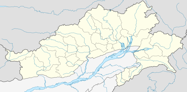
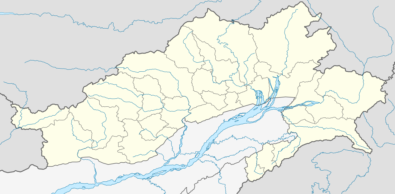
Location map of Arunachal Pradesh Geographic limits of the map:
|
| Dato | (UTC) |
| Kilde | |
| Forfatter |
|
| Andre versioner | Derivative works of this file: India Arunachal Pradesh districts Assamese.svg |
Jeg, dette værks ophavsretsindehaver, publicerer hermed værket under den følgende licens:
Denne fil er udgivet under Creative Commons Kreditering-Del på samme vilkår 3.0 Ikke-porteret-licensen.
- Du må frit:
- at dele – at kopiere, distribuere og overføre værket
- at remixe – at tilpasse værket
- Under følgende vilkår:
- kreditering – Du skal give passende kreditering, angive et link til licensen, og oplyse om der er foretaget ændringer. Du må gøre det på enhver fornuftig måde, men ikke på en måde der antyder at licensgiveren godkender dig eller din anvendelse.
- deling på samme vilkår – Hvis du bearbejder, ændrer eller bygger videre på dette værk, skal du distribuere dine bidrag under den samme eller en kompatibel licens som originalen.
Oprindelig oplægningslog
This image is a derivative work of the following images:
- File:Arunachal_Pradesh_locator_map.svg licensed with Cc-by-sa-3.0
Uploaded with derivativeFX
Filhistorik
Klik på en dato/tid for at se filen som den så ud på det tidspunkt.
| Dato/tid | Miniaturebillede | Dimensioner | Bruger | Kommentar | |
|---|---|---|---|---|---|
| nuværende | 13. jun. 2021, 06:52 | | 1.685 × 830 (531 KB) | C1MM | Decreased size, added better dist boudnaries |
| 13. mar. 2021, 09:56 |  | 1.845 × 1.046 (824 KB) | C1MM | Added river | |
| 13. mar. 2021, 09:52 |  | 1.845 × 1.046 (820 KB) | C1MM | Corrected rivers and district boundaries | |
| 18. jan. 2021, 20:14 |  | 1.845 × 1.046 (360 KB) | C1MM | Changed weight of district boundaries | |
| 18. jan. 2021, 10:12 |  | 1.845 × 1.046 (358 KB) | C1MM | Fixed borders and corrected new district boundaries | |
| 2. aug. 2020, 20:37 |  | 1.456 × 800 (274 KB) | C1MM | Relayered | |
| 16. apr. 2020, 06:04 |  | 1.456 × 800 (309 KB) | C1MM | Updated borders | |
| 16. apr. 2020, 06:03 |  | 1.456 × 800 (309 KB) | C1MM | Corrected border sizing | |
| 16. apr. 2020, 05:58 |  | 1.456 × 800 (309 KB) | C1MM | Extended to include new lat/longitude | |
| 13. apr. 2020, 00:32 |  | 1.455 × 746 (276 KB) | C1MM | Corrected borders and added new districts |
Filanvendelse
Der er ingen sider der bruger denne fil.
Global filanvendelse
Følgende andre wikier anvender denne fil:
- Anvendelser på anp.wikipedia.org
- Anvendelser på ar.wikipedia.org
- Anvendelser på as.wikipedia.org
- Anvendelser på azb.wikipedia.org
- Anvendelser på bh.wikipedia.org
- Anvendelser på bn.wikipedia.org
- ইটানগর
- অরুণাচল প্রদেশ
- জিরো
- আলং
- বাসার
- বোমডিলা
- চ্যাংলাং
- দপোরিজো
- দেওমালি
- জয়রামপুর
- খোনসা
- নাহারলাগুন
- নামসাই
- পাসিঘাট
- রইং
- সেপ্পা
- তওয়াং
- তেজু
- টেমপ্লেট:অবস্থান মানচিত্র ভারত অরুণাচল প্রদেশ
- ভালুকপুং
- জিরো বিমানবন্দর
- তেজু বিমানবন্দর
- পাসিঘাট বিমানবন্দর
- ইংকিয়ং
- অনিনি
- পালিন
- মিয়াও
- মেছুকা
- মডিউল:অবস্থান মানচিত্র/উপাত্ত/ভারত অরুণাচল প্রদেশ
Vis flere globale anvendelser af denne fil.