Fil:Peloponnese map.png
Der findes ingen højere opløsning af billedet
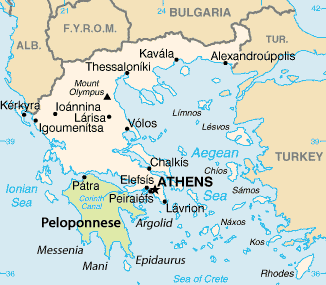
Peloponnese_map.png (326 × 285 billedpunkter, filstørrelse: 17 KB, MIME-type: image/png)
|
|
Denne fil er fra Wikimedia Commons. Beskrivelsen af filen fra Commons er gengivet nedenfor. |
| Beskrivelse | Peloponnese Map | |||
| Dato | originally uploaded on 25 June 2005; cropped on 5 July 2006 and uploaded on Polish Wikipedia, slightly trimmed to remove border when transferring to Commons | |||
| Kilde | cropped version of PeloponnesosMap.png | |||
| Forfatter | CIA Factbook | |||
| Tilladelse (Genbrug af denne fil) |
|

Filhistorik
Klik på en dato/tid for at se filen som den så ud på det tidspunkt.
| Dato/tid | Miniaturebillede | Dimensioner | Bruger | Kommentar | |
|---|---|---|---|---|---|
| nuværende | 26. aug. 2009, 19:27 | | 326 × 285 (17 KB) | Botev | {{Information |Description=Peloponnese Map |Source=cropped version of PeloponnesosMap.png |Date=originally uploaded on 25 June 2005; cropped on 5 July 2006 and uploaded on Polish Wikipedia, slig |
Filanvendelse
Den følgende side bruger denne fil:
Global filanvendelse
Følgende andre wikier anvender denne fil:
- Anvendelser på en.wikipedia.org
- Anvendelser på es.wikipedia.org
- Anvendelser på et.wikipedia.org
- Anvendelser på fa.wikipedia.org
- Anvendelser på fr.wikipedia.org
- Anvendelser på no.wikipedia.org
- Anvendelser på pl.wikipedia.org
- Anvendelser på ro.wikipedia.org
- Anvendelser på tr.wikipedia.org