Fil:South Lanarkshire UK location map.svg

Size of this PNG preview of this SVG file: 588 × 600 pixels. Andre opløsninger: 235 × 240 pixels | 471 × 480 pixels | 753 × 768 pixels | 1.004 × 1.024 pixels | 2.008 × 2.048 pixels | 1.319 × 1.345 pixels.
Fuld opløsning (SVG fil, basisstørrelse 1.319 × 1.345 pixels, filstørrelse: 1,3 MB)
|
|
Denne fil er fra Wikimedia Commons. Beskrivelsen af filen fra Commons er gengivet nedenfor. |
| Beskrivelse |
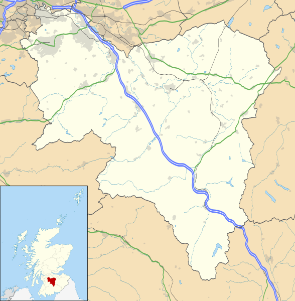
Blank map of South Lanarkshire, UK with the following information shown:
Equirectangular map projection on WGS 84 datum, with N/S stretched 170% Geographic limits:
|
| Dato | |
| Kilde |
|
| Forfatter | Nilfanion, created using Ordnance Survey data |
| Tilladelse (Genbrug af denne fil) |
Denne fil er udgivet under Creative Commons Kreditering-Del på samme vilkår 3.0 Ikke-porteret-licensen. Kreditering: Contains Ordnance Survey data © Crown copyright and database right
|
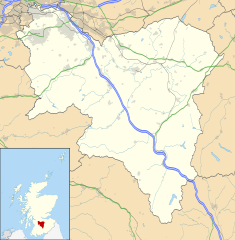
| Andre versioner | File:South Lanarkshire UK blank map.svg - Blank map |
Filhistorik
Klik på en dato/tid for at se filen som den så ud på det tidspunkt.
| Dato/tid | Miniaturebillede | Dimensioner | Bruger | Kommentar | |
|---|---|---|---|---|---|
| nuværende | 26. sep. 2010, 22:25 | | 1.319 × 1.345 (1,3 MB) | Nilfanion | {{Information |Description=Blank map of South Lanarkshire, UK with the following information shown: *Administrative borders *Coastline, lakes and rivers *Roads and railways *Urban areas Equirectangular map projection on WGS 84 dat |
Filanvendelse
Der er ingen sider der bruger denne fil.
Global filanvendelse
Følgende andre wikier anvender denne fil:
- Anvendelser på ar.wikipedia.org
- Anvendelser på bg.wikipedia.org
- Anvendelser på ceb.wikipedia.org
- Anvendelser på cs.wikipedia.org
- Anvendelser på de.wikipedia.org
- Anvendelser på en.wikipedia.org
- Hamilton, South Lanarkshire
- List of monastic houses in Scotland
- South Lanarkshire
- Rutherglen
- Lanark
- East Kilbride
- Cambuslang
- Biggar, South Lanarkshire
- New Lanark
- Blantyre, South Lanarkshire
- Lesmahagow
- Kirkmuirhill
- Blackwood, South Lanarkshire
- Larkhall
- Bothwell
- Falls of Clyde (waterfalls)
- Bothwell Castle
- Strathaven
- Carluke
- Leadhills
- Uddingston
- Walston, South Lanarkshire
- Abington, South Lanarkshire
- Eastfield, South Lanarkshire
- Fernhill, South Lanarkshire
- Carnwath
- Coulter, South Lanarkshire
- Forth, South Lanarkshire
- Law, South Lanarkshire
- Braidwood, South Lanarkshire
- Craignethan Castle
- Ferniegair
Vis flere globale anvendelser af denne fil.